
Great Smoky Mountains
Located on the border of North Carolina and Tennessee, this national park is considered the most biodiverse in the system. With 900 miles of trails, 384 miles of road, 11 major waterfalls and at least 14 designated historic areas;
this park has something for the whole family. Wildlife viewing is throughout the park, but many find Cades Cove or Cataloochee as two areas that have better opportunities. Check the status of roads and trails by visiting the official website which also will link to webcams and twitter feeds. There are many hiking books available, but one we have enjoyed gifted to us by a friend, is The Afternoon Hiker by J.L & Lin Stepp. Except for camp stores and LeConte Lodge, there are not any restaurants in the park, so plan accordingly. You can certainly start with a great breakfast at Log Cabin Pancake House in Gatlinburg -a local favorite! Remember it will always remain free to enter the park, so please consider donating to help preserve this park for years to come. You can support by donating at the park or by visiting Great Smoky Mountains Association (also available for Amazon Smile) or Friends of the Smokies.
Abrams Creek
A brief but very narrow one lane road leads to Abrams Creek, a remote area of the park that many locals enjoy. It has a sixteen site, tent only campground with flush toilets, but no showers or vending. Cooper Road Trail is a favorite for several reasons and you can even hike over to Cades Cove (10.5m) which was the main way to enter at one time. There are several loop hikes and trails that take you to the very popular Abrams Falls avoiding the traffic of Cades Cove.


Cades Cove
This ever popular area features an 11 mile one-way loop road that occasionally closes to automobiles so bicyclist and hikers can enjoy safely. There is a self guiding tour booklet available at the entrance and usually it is staffed by a knowledgeable volunteer who can suggest some features. This is without a doubt the place to see wildlife in the park. There are also some hidden gems that we would be happy to share the location if you contact us. There is a 159 site campground and a large gift shop featuring a deli as well as a picnic area for day use.


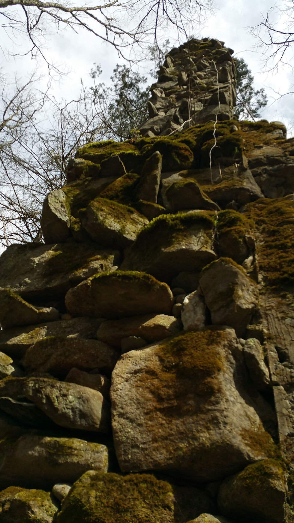
Clingmans Dome
The highest point of the park (6,643 feet) offers an amazing view of the surrounding area via a short but steep paved trail. The Appalachian Trail crosses by and there are several gorgeous trails, including some to backcountry shelters. Many hikers go to Andrew's Bald mid-June/early July to see the native flame azaleas and Catawba rhododendron in bloom. If you want to check current conditions, there is a webcam. The dome is open year-round, however the seven mile entrance road closes Dec 31- Mar 31. You will find cross country skiers and hikers using the road during that time.


Deep Creek
Offering camping and several loop hikes to waterfalls, this is a popular spot in the mountains. With a large day use area, although not recommended by the park service, many locals come here for the day to tube down the creek. In the summer, this area attracts crowds that overflows the parking area so the road may have cars parked along the sides. You will find a lot of trail runners throughout the year.


Foothills Parkway
This is a segmented roadway at this time that skirts the edge of the park. It is missing about 35 miles between Wears Valley and Cosby. Lack of funding seems to be the cause, but there is some local debate about whether the project should be completed. Regardless to which side you are on, all agree the views from the completed sections are breathtaking. Because of these views it is a hotspot for motorcyclists and bicyclists. Remember to be courteous to others and use the pull-offs if you are taking a leisurely trip. Unfortunately, Look Rock campground never recovered after the 2008 economic crisis and officially closed in 2013. The popular Look Rock Tower remains and can be accessed via a short trail. Now it really is a parkway without food or fuel so plan accordingly.


Big Creek
Big Creek is located in the northeast section of the park. Since it is a bit out of the way, you won't find huge crowds here as you do in the more popular areas. It has a twelve site, tent only campground and the only horse camp in the park with flushing toilets and potable water, however no showers or vending.
The hike to Midnight Hole and Mouse Creek Falls (4.2m RT) is quite popular. On Chestnut Branch Trail you will see evidence of old homesteads before climbing up to meet the Appalachian Trail. At the main parking area, after crossing the bridge, go right to hike to a huge chimney (you will see the foot trail off to the right, looks like it is headed into the woods), we were told this is left from an old hunting lodge.


Cataloochee
The entrance road is a winding narrow gravel road (without a guard rail) that requires some vehicles to stop to allow oncoming traffic room to pass. A variety of historic frame buildings including homes, school, churches and barns are open for touring. Most are located beside the road and the others can be reached by hiking trails. Primitive campgrounds are available and trout fishing is popular here. In 2001, Elk were reintroduced and can be seen regularly in the field, especially in the morning and evening.


Cosby
Usually quieter than the more popular areas, this campground is located about 30min from Gatlinburg, TN. All sites are by reservation only. The day use / picnic area serves as starting point for some popular hikes including Mt. Cammerer and Gabes Mountain to Hen Wallow Falls. Also, nearby is the Maddron Bald trail that leads to the Albright Grove, which hosts some of the oldest trees in the park.


Elkmont
Our annual camping trips lead us to discover evidence of the history of this area. This is a former logging community that was later used as a vacation spot for the nearby cities. Officials decided to revitalize a few cabins (our kids named them Scooby-Doo houses) to provide a glimpse into what once was three areas (Millionaire's Row, Daisy Town and Society Hill). The other structures have been demolished but some rock walls and even a "troll" bridge remain. Today it is the largest campground in the park with 200 sites. Many come to see the annual synchronous fireflies late May / early June. Several popular trails are located here. Contact us and we can provide a "treasure" map to find all the hidden gems in the area.


